Spatial
Digital Twins
Our AI converts
Point Clouds
into Value
Upload point clouds & directly start analyzing/sharing/measuring/ … on 3dpointhub.com
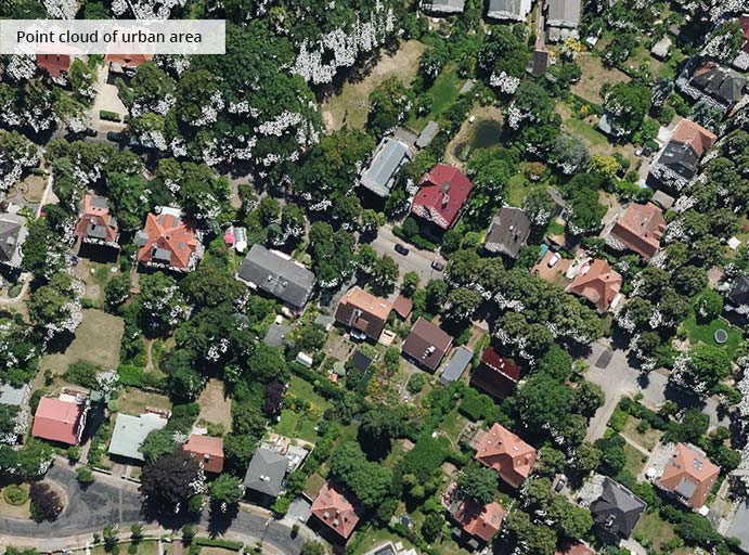
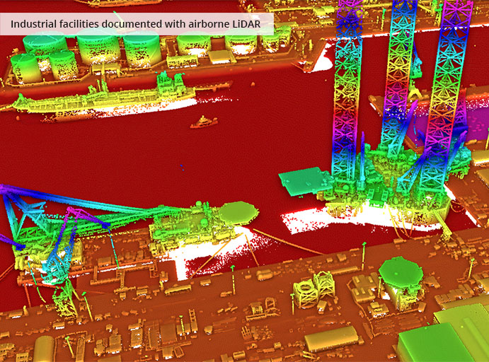
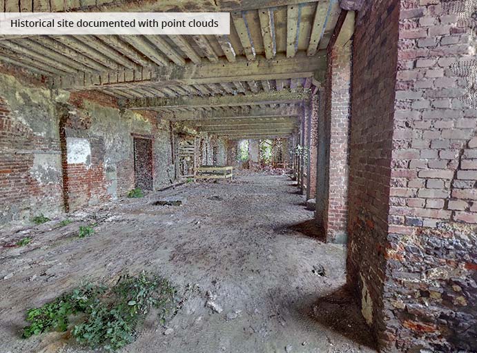
THE POWER OF POINT CLOUDS
3D point clouds serve as precise models of reality, available at low costs, and perfectly suited for high-performance processing.
Capture assets, sites, and entire environments 1:1 every year, every month, every day, every hour, every minute, or every second.
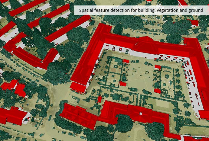
Run spatial analytics based on 3D point cloud streams that continuously deliver billions of data points.
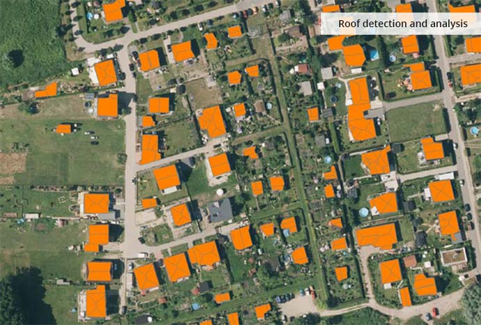
Perform feature detection and differential analysis as core algorithms operating on 3D point clouds.
Build a unique spatio-temporal model of reality with 4D point clouds, combining 3D point clouds captured at different points in time.
THE POWER OF POINT CLOUDS
3D point clouds serve as precise models of reality, available at low costs, and perfectly suited for high-performance processing.
Capture assets, sites, and entire environments 1:1 every year, every month, every day, every hour, every minute, or every second.
Run spatial analytics based on 3D point cloud streams that continuously deliver billions of data points.
Perform feature detection and differential analysis as core algorithms operating on 3D point clouds.
Build a unique spatio-temporal model of reality with 4D point clouds, combining 3D point clouds captured at different points in time.
HOW OUR PLATFORM WORKS


VALUES IN A NUTSHELL
Creates, maintains and applies computational 1:1 models of reality – systematically, efficiently, and automatically.
Disruptively cost-efficient for various segments and verticals of industries and public sectors.
One universal model for manifold fields of applications.
Manage unlimited amounts of point clouds and make them visible instantly to derive actionable insights out-of-core.
Seamless and simple integration of our SaaS technology into your business models and processes.
Power your operations through effective point cloud networking.
ABOUT US
Point Cloud Technology GmbH has been the technology leader as a universal platform for 3D point cloud analytics since its foundation almost 10 years ago. Based on machine learning, the platform supports organizations and companies from various industries such as manufacturing, construction, surveying, asset management, transportation, real estate, finance, insurance and the public sector. Through innovative work with point clouds, digitization can be significantly advanced for the modeling and analysis of vegetation, infrastructures, as well as buildings and facilities.
RESEARCH PARTNERS
RESEARCH PARTNERS
CURRENT RESEARCH PROJECTS

Funded by the BMVI, Point Cloud Technology is launching a 3-year project together with the city of Essen, the Hasso Plattner Institute and Straßen NRW to create a comprehensive national infrastructure database for roads. The database includes road inventory as well as an assessment of the condition of roads and their substructure. The data basis comprises 3D point clouds, image data and ground radar data which are collected with mobile mapping vehicles and analyzed using artificial intelligence.